
Your Custom Text Here
URBAN CORRIDORS
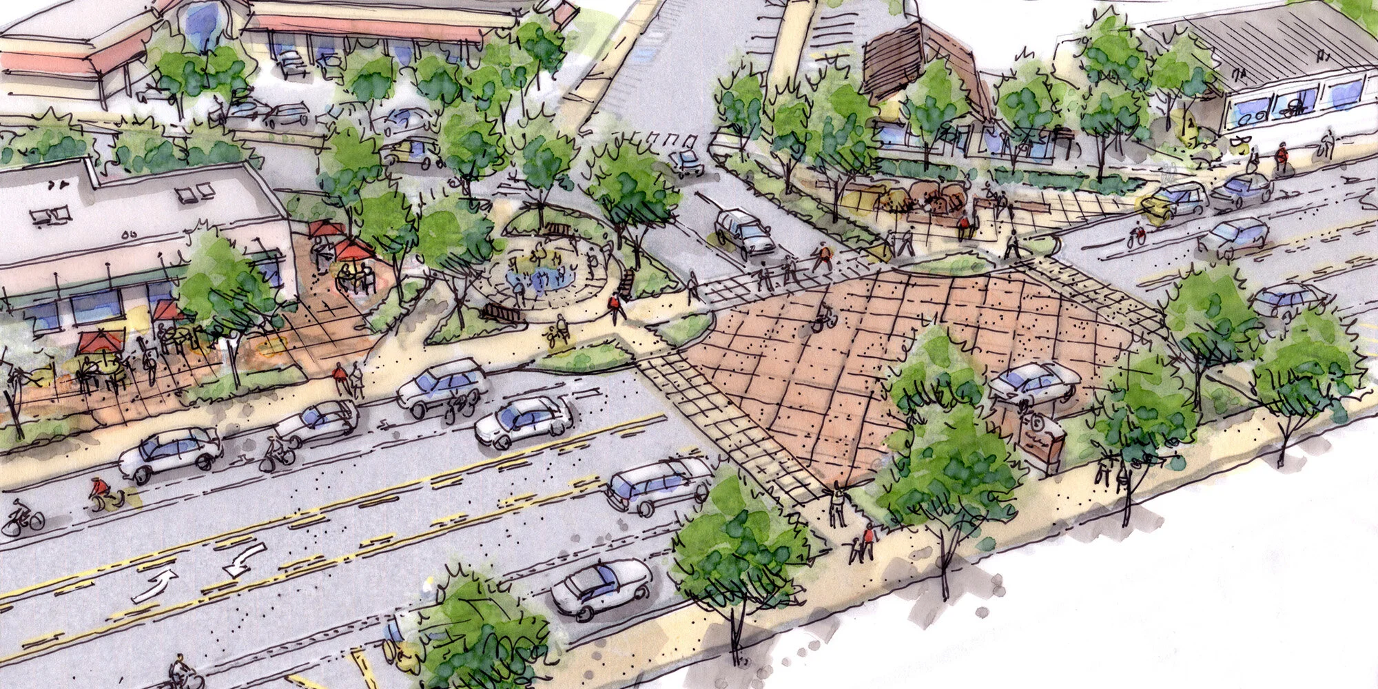
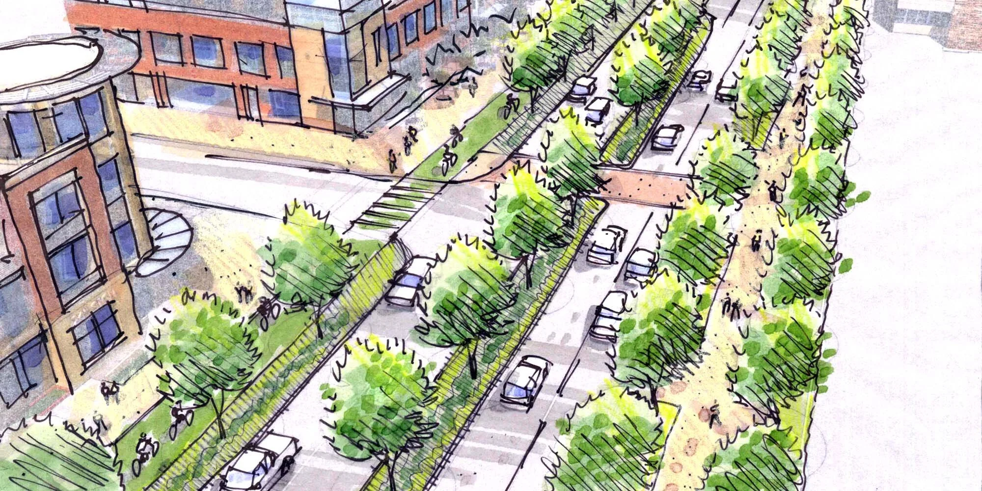
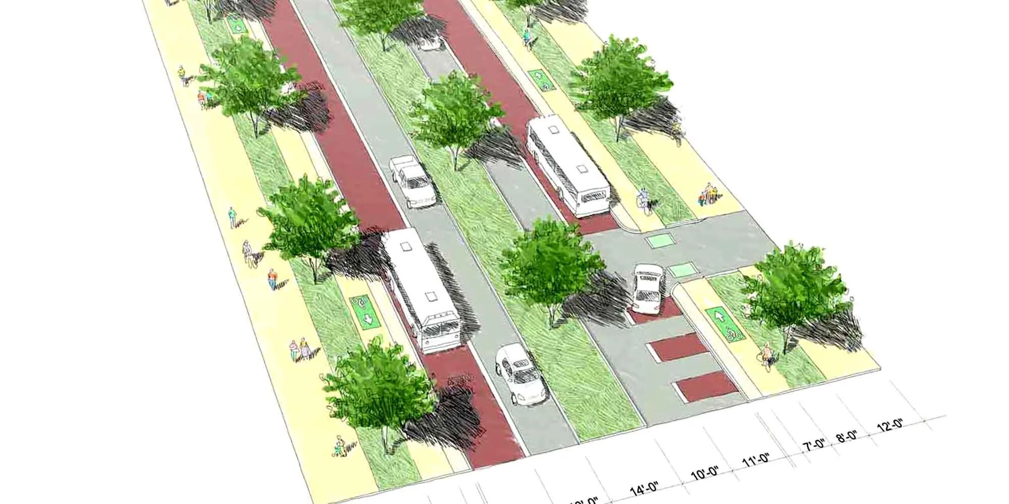
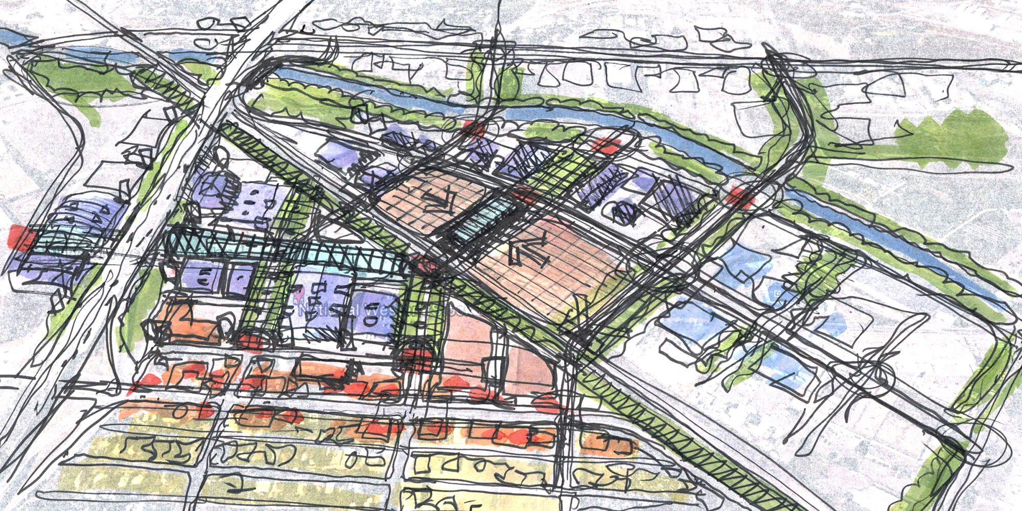
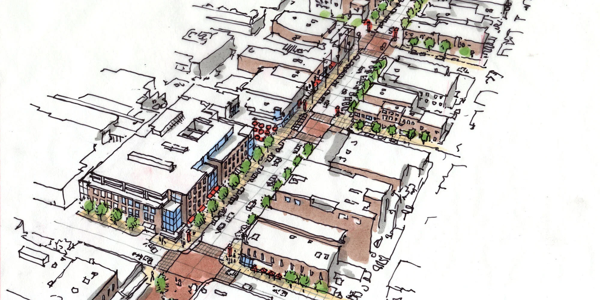
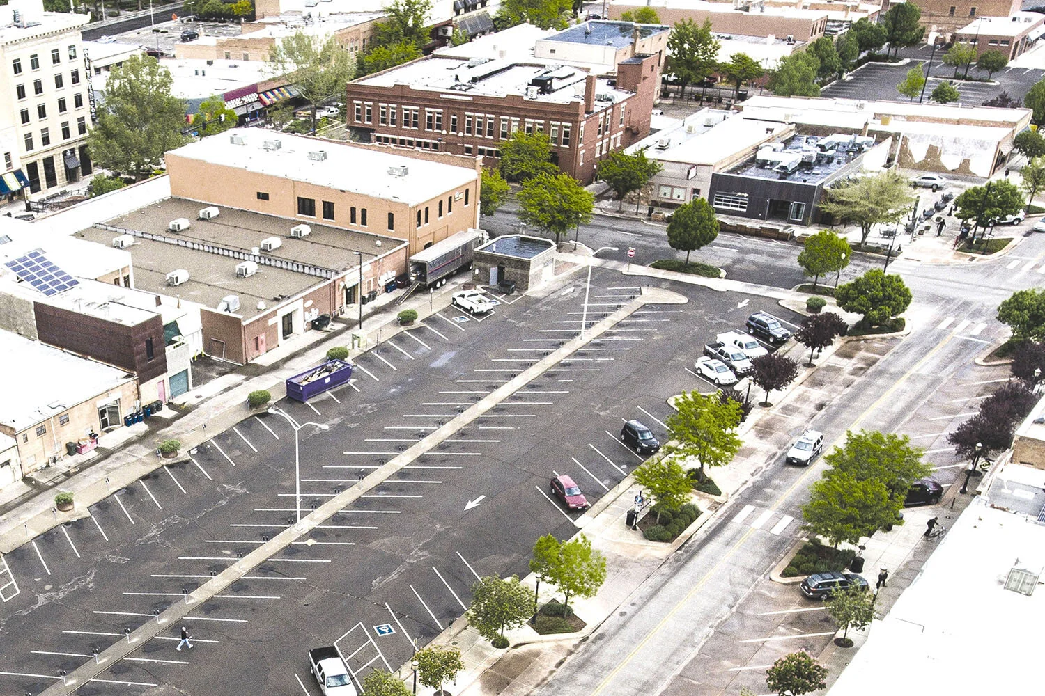
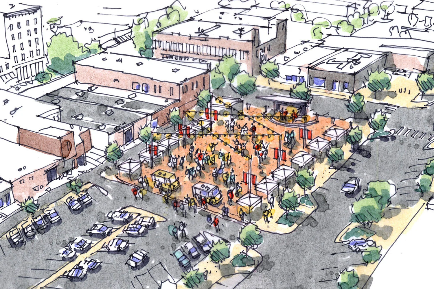
Many large urban spaces such as undeveloped land, transit corridors or vacant downtown lots require a different type of visualization approach - the aerial perspective (looking down at the site from above). Jim utilizes drone photography, Google Earth imaging, 3D SketchUp modeling or a combination of any as accurate “base information” to then visualize different creative interventions to those spaces. He then incorporates the visual data into his drawings depicting what those spaces might look like with improvements to landscaping, streetscape configurations, public events activity and architecture.